Aggregate stockpiles
Document selected aggregate piles and provide agreed volume summaries and supporting imagery.

Stockpile Inventory
Florida Geo Map supports stockpile inventory and volumetric documentation using site capture, surface modeling and project-specific summary deliverables.
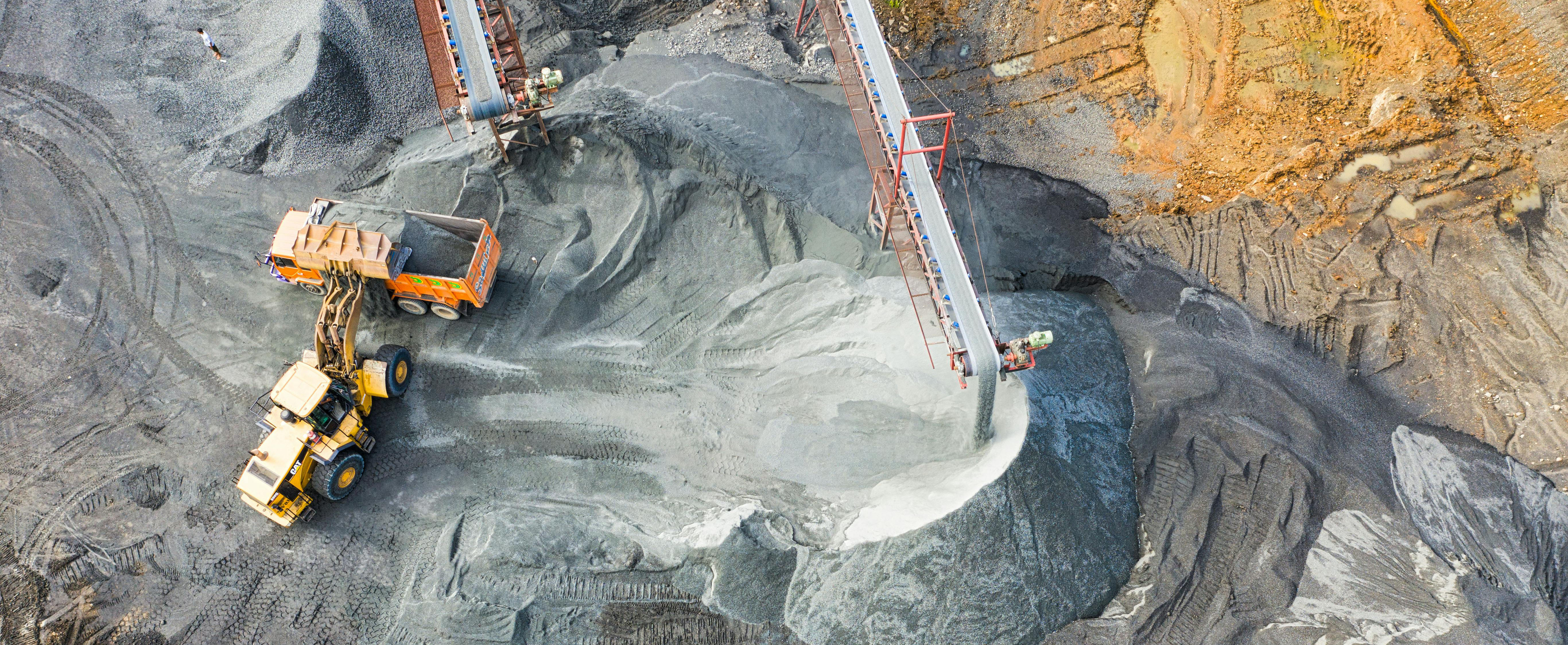
Service overview
Florida Geo Map measures and documents aggregate, soil, fill and other visible bulk-material stockpiles using aerial capture and 3D surface modeling. Projects can be completed for a single reporting date or organized as a recurring monthly, quarterly or project-based inventory program.
Results depend on the visible pile surface, selected base or reference surface, pile boundaries, obstructions, vegetation and site conditions at the time of capture. Consistent pile names, inventory areas and reporting formats make period-to-period review more practical.
Provide the site location, number and type of piles, expected boundaries, available base information, required units, reporting schedule and access restrictions.
Typical applications
The exact capture method and deliverable package are confirmed after the project objective, site conditions and available source information are reviewed.
Document selected aggregate piles and provide agreed volume summaries and supporting imagery.
Support recurring review of soil, fill and other bulk material stockpiles.
Create an organized record of selected on-site material quantities at a defined point in time.
Establish consistent pile names, capture areas and reporting cycles for ongoing inventory programs.
Compare modeled surfaces or inventory periods when the required reference information is available and scoped.
Pair quantity summaries with maps, orthographic imagery or 3D visuals that help locate and review each pile.
Possible deliverables
Final formats, content and technical requirements are confirmed in the proposal.
Deliverables depend on scope, site conditions, available source data and intended use.
Project workflow
Identify piles, required units, base assumptions, site access and reporting frequency.
Collect the agreed site information while documenting current conditions and visible boundaries.
Generate the selected surface products and review pile limits and reference assumptions.
Deliver the agreed quantity summary, maps, imagery and supporting files.
Who this supports
Project suitability depends on scope, access, schedule and required deliverables. Contact Florida Geo Map to review the specific use case.
Stockpile Inventory FAQ
These answers are scope-based because project requirements vary.
Pile boundaries, the selected base or reference surface, obstructions, material visibility and current site conditions can all affect the result.
Yes. The proposal can identify each pile or inventory zone and the reporting structure for the full site.
Yes. Recurring visits can use consistent pile names, site limits and reporting formats to support period-to-period review.
The service page does not make a universal accuracy guarantee. Required tolerances, control, site conditions and intended use must be reviewed during scoping.
Provide the location, estimated number of piles, material types, available base information, required units, site access, schedule and desired deliverables.
Request a quote
Share the site address, approximate number of piles, material types, required units, available base information, preferred schedule and whether the work is one-time or recurring.