Asset inventories
Collect locations, identifiers, condition notes, photographs and other agreed attributes for infrastructure or site assets.
GPS & GIS Mapping
Florida Geo Map supports field inventories, existing-condition documentation, site mapping and GIS-ready data workflows tailored to the decisions your team needs to make.
Service overview
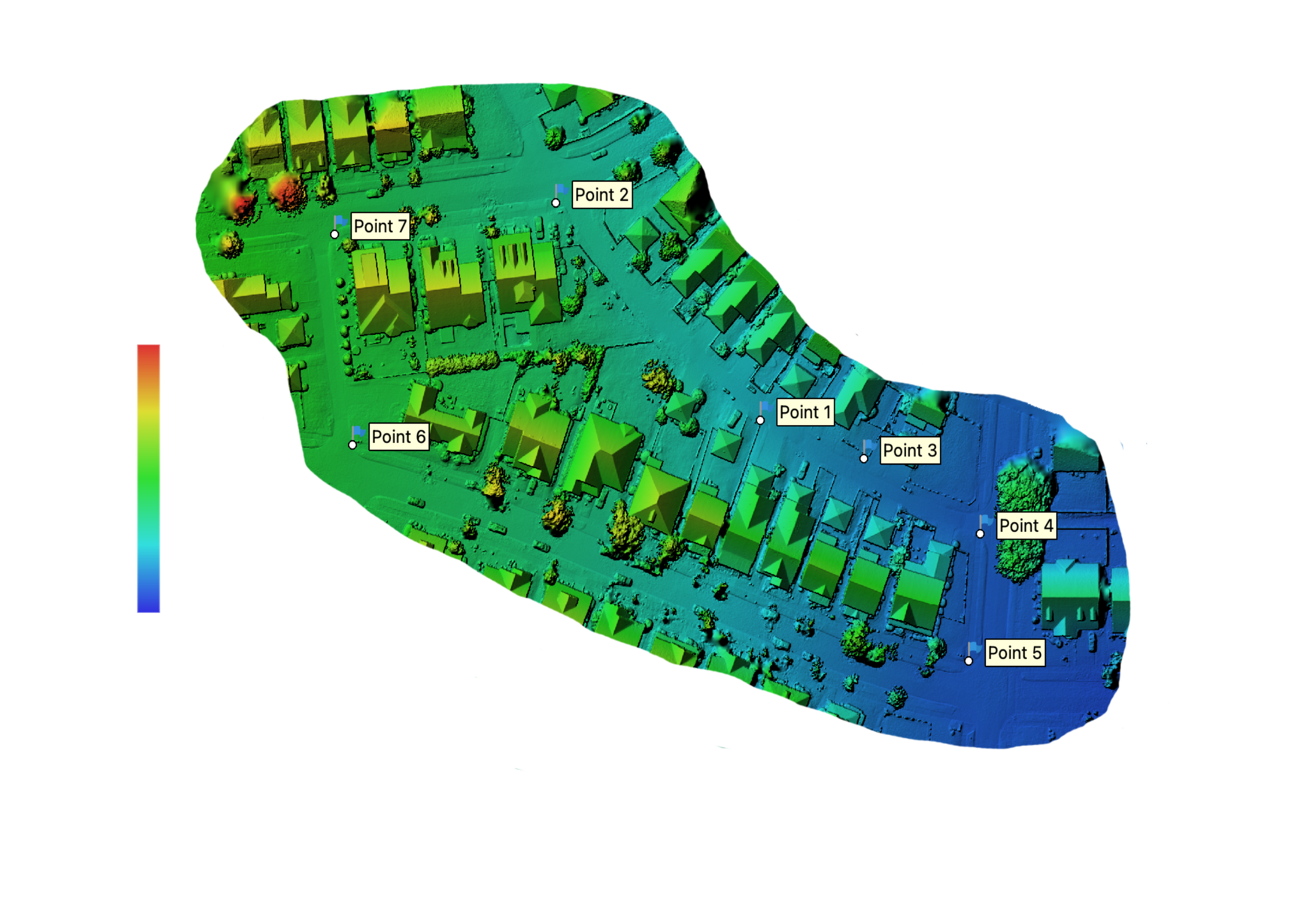
Florida Geo Map combines drone imagery, field asset inventories and organized spatial data to create practical project maps and GIS-ready records. Applications include existing-condition documentation, construction field records, infrastructure inventories and location-based asset information.
The workflow begins with how the information will be used—not with a one-size-fits-all output. Capture methods, field attributes and deliverable formats are defined around the site, schedule and available source information. Services are not represented as boundary, title or other regulated land-surveying services.
Provide available plans, existing GIS files, KML/KMZ data, site limits and required attributes during quoting so the collection plan can be matched to your workflow.
Typical applications
The exact capture method and deliverable package are confirmed after the project objective, site conditions and available source information are reviewed.
Collect locations, identifiers, condition notes, photographs and other agreed attributes for infrastructure or site assets.
Create an organized visual and spatial record of features that matter to planning, documentation or coordination.
Document selected site features, limits, observations or progress information for project teams and stakeholders.
Support location-based records for utilities, facilities, transportation features and other managed assets.
Create clear project maps for field use, reporting, coordination or stakeholder communication.
Review existing spatial files and define cleanup, field verification, attribute updates or conversion work.
Possible deliverables
Final formats, content and technical requirements are confirmed in the proposal.
Deliverables depend on scope, site conditions, available source data and intended use.
Project workflow
Review the site, decision need, available source information, schedule and expected users.
Confirm features, attributes, photographs, naming conventions, formats and collection limits.
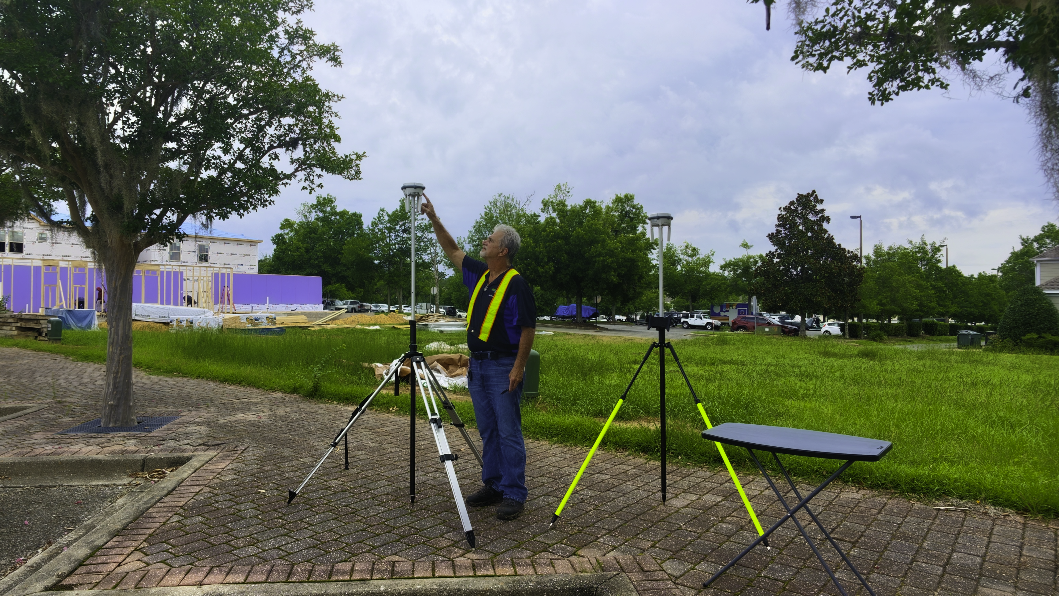
Complete the agreed fieldwork and structure the resulting spatial and supporting information.
Check the deliverable package against the agreed scope and provide the final project files.
Who this supports
Project suitability depends on scope, access, schedule and required deliverables. Contact Florida Geo Map to review the specific use case.
GPS & GIS Mapping FAQ
These answers are scope-based because project requirements vary.
Share the project location, approximate limits, the features or assets to be collected, required attributes, preferred schedule, available plans or GIS files and the intended final deliverables.
Common requests may include PDF maps, KML/KMZ, tabular data and GIS-ready files. The exact formats and data structure should be confirmed during scoping.
Yes, when included in the agreed workflow. The proposal should identify the photograph, naming and attribute requirements before collection begins.
Existing files can be reviewed to determine whether cleanup, field verification, attribute updates or conversion can be included in the scope.
Florida Geo Map is based in Tallahassee and supports projects across Florida, Southern Georgia and Southern Alabama, subject to scope and scheduling.
Request a quote
Share the location, approximate site size, project objective, preferred schedule and the deliverables your team expects to use.